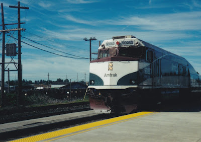
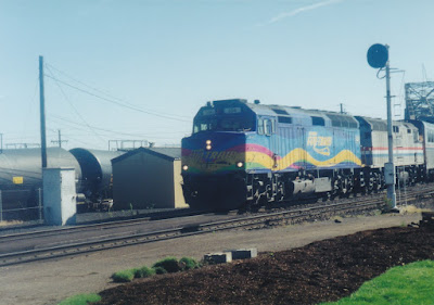
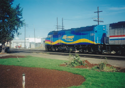
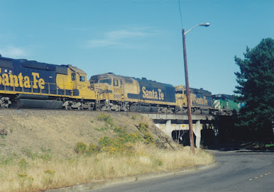
On July 23, 1999, I boarded the eastbound Portland section of Amtrak's Empire Builder at Vancouver, Washington, on a trip to Milwaukee, Wisconsin. Here are the pictures I took the first day, as the train traveled up the north bank of the Columbia River Gorge. Unfortunately, most of them are blurry, because my camera's autofocus tried to focus on the reflections and dirt on the window glass instead of the scenic views beyond.
Phoca Rock is a landslide remnant that sits in the middle of the Columbia River near Bridal Veil, Oregon, though it is closer to the Washington side of the river. It is about 30 feet tall and was named by William Clark after the Phoca vitulina harbor seals that were seen in the area.
At a height of 620 feet, Multnomah Falls is the tallest waterfall in Oregon and is one of the tallest year-round waterfalls in the United States.
In the background is the spillway of the Bonneville Dam on the Columbia River. The spillway was built from 1933 to 1937 along with the first powerhouse on the Oregon side of the river.
The Bonneville Dam spillway is 1,450 feet long and has 18 gates. It typically maintains the reservoir on the upstream side at a height 59 feet above the river on the downstream side.
The Bonneville Dam Second Powerhouse was built on the Washington side of the river from 1974 to 1982. The river had to be widened to provide space for it.
The Second Powerhouse is 986 feet long with 8 generators producing a total of 558 megawatts of power. Combined with the first powerhouse, the entire Bonneville Dam can produce 1.2 gigawatts of electricity.
This is the Stevenson Co-Ply plywood mill in Stevenson, Washington. Stevenson Co-Ply, Incorporated, was incorporated on August 17, 1955, and purchased the Stevenson Plywood Corporation in March of 1956. This mill was one of Skamania County's largest employers, and the main building had an area of 130,000 square feet. Stevenson Co-Ply went into receivership on January 24, 1992. The mill was purchased by High Cascade International Corporation and was used a warehouse to store wood pellets. It would later be destroyed by arson on September 21, 2007.
Here is a view from near Cook, Washington, showing the Oregon bank of the Columbia River. Traffic can be seen on Interstate 84.
This is a view from near Hood, Washington, showing the Oregon side of the river.
These windsurfers on the Columbia River were near Hood, Washington, enjoying the strong winds in this part of the Columbia River Gorge.
This is a view of Mount Hood from near Hood, Washington. At a height of 11,249 feet, Mount Hood is the tallest mountain in Oregon. Mount Hood was named on October 29, 1792 for British Admiral Samuel Hood by British Lieutenant William Broughton, a member of George Vancouver's worldwide expedition.
This is a view of Mount Hood and the town of Hood River, Oregon, from near Hood, Washington. The town of Hood River is named after the Hood River, which originates on Mount Hood and flows into the Columbia River here.
The name Hood River appeared on maps as early as 1856, and the Hood River post office was established on September 20, 1858. The railroad opened through Hood River in 1882, and the city of Hood River was incorporated in July 1895. Hood River is the seat of Hood River County, which was separated from Wasco County on June 23, 1908. The Columbia River Highway opened from Portland to Hood River in 1916.
This is a view from near Dallesport, Washington, which sits across the Columbia River from The Dalles, Oregon.
In this view from near Maryhill, Washington, a Union Pacific freight train can be seen on the other side of the Columbia River. By this time it was beginning to get dark, so this was the last picture from this part of the trip.


